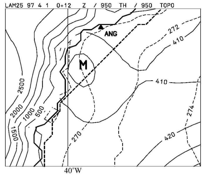
Interaction of katabatic winds and mesocyclones at the Eastern coast of Greenland 2001
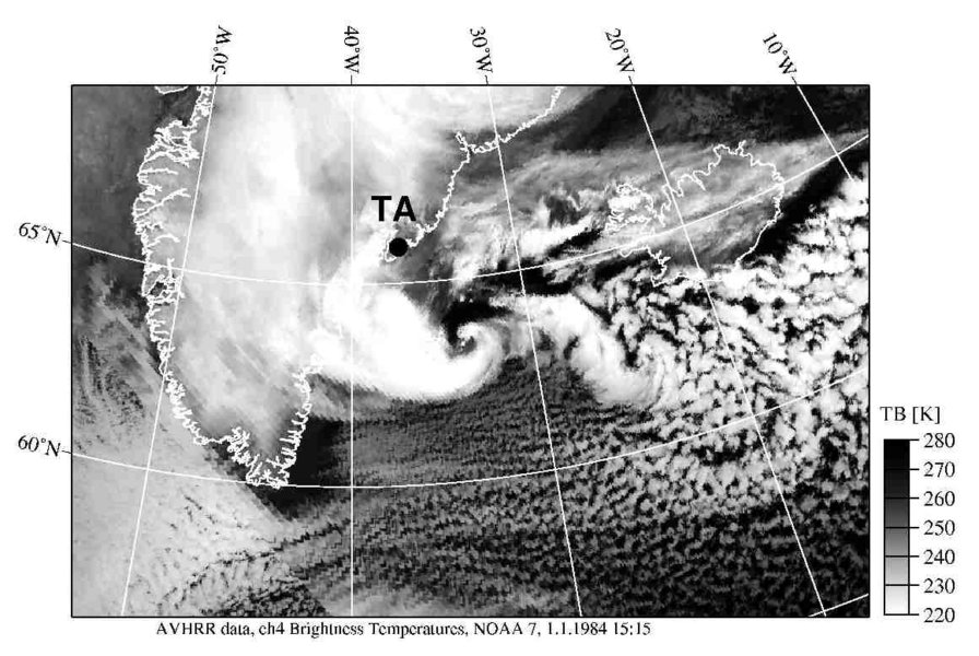
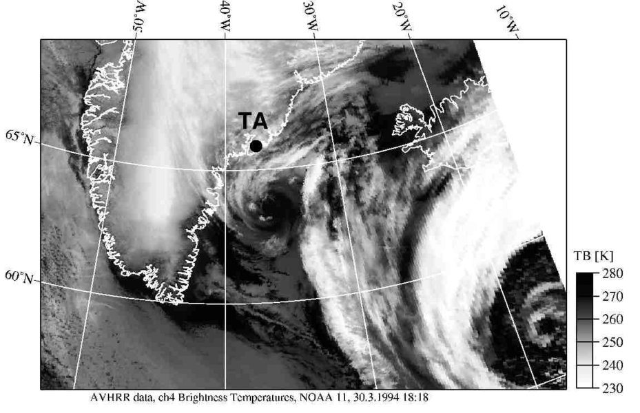
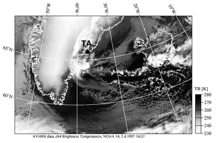
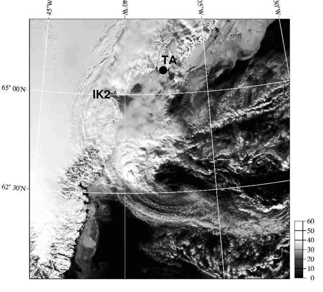
Satellite images occasionally show the existence of MCs close to the Eastern coast of Greenland, especially in the region of Angmagssalik/Tasiilaq. The special characteristics of the East Greenland topography seem to be a key factor for the development of the MCs. The channeling of the flow in large valleys along the East Greenland coast leads to a convergence, implying a vertical stretching and the generation of cyclonic vorticity. This convergence can be strong during intense katabatic storms, so-called Piteraqs, which are a much-feared phenomenon in that area of Greenland (Rasmussen, 1989). A close relationship exists between the occurrence of Piteraqs and the generation of mesoscale vortices close to the East Greenland coast.
References:
Klein, T., Heinemann, G., 2001: Interaction of katabatic winds and mesocyclones at the Eastern coast of Greenland. In review by Meteorological Applications.
Rasmussen, L., 1989: Den dag, Angmagssalik naesten blaeste i havet. Vejret, 2, Danish Meteorological Society, 3-14.
Please click on the images for full resolution or animation.
Copyright by Günther Heinemann.